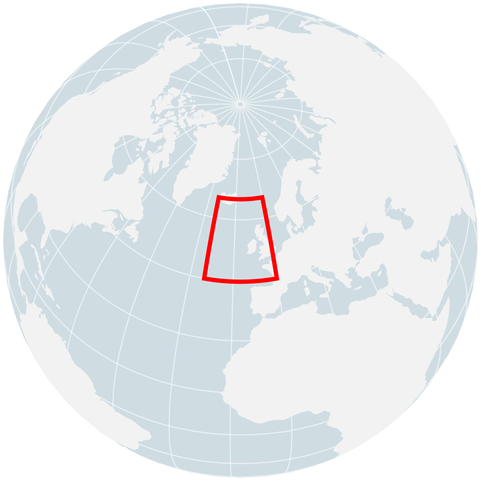
Hourly 10m wind speed comparison at 1° resolution for the North Atlantic in Jan–Feb 2017. This region and period were selected as the strongest Historical−Counterfactual signal from the monthly diagnostic (RMS 0.36 m/s).
2017 North Atlantic Wind Winter
Wind Energy | Europe
2017-01-01 to 2017-02-28
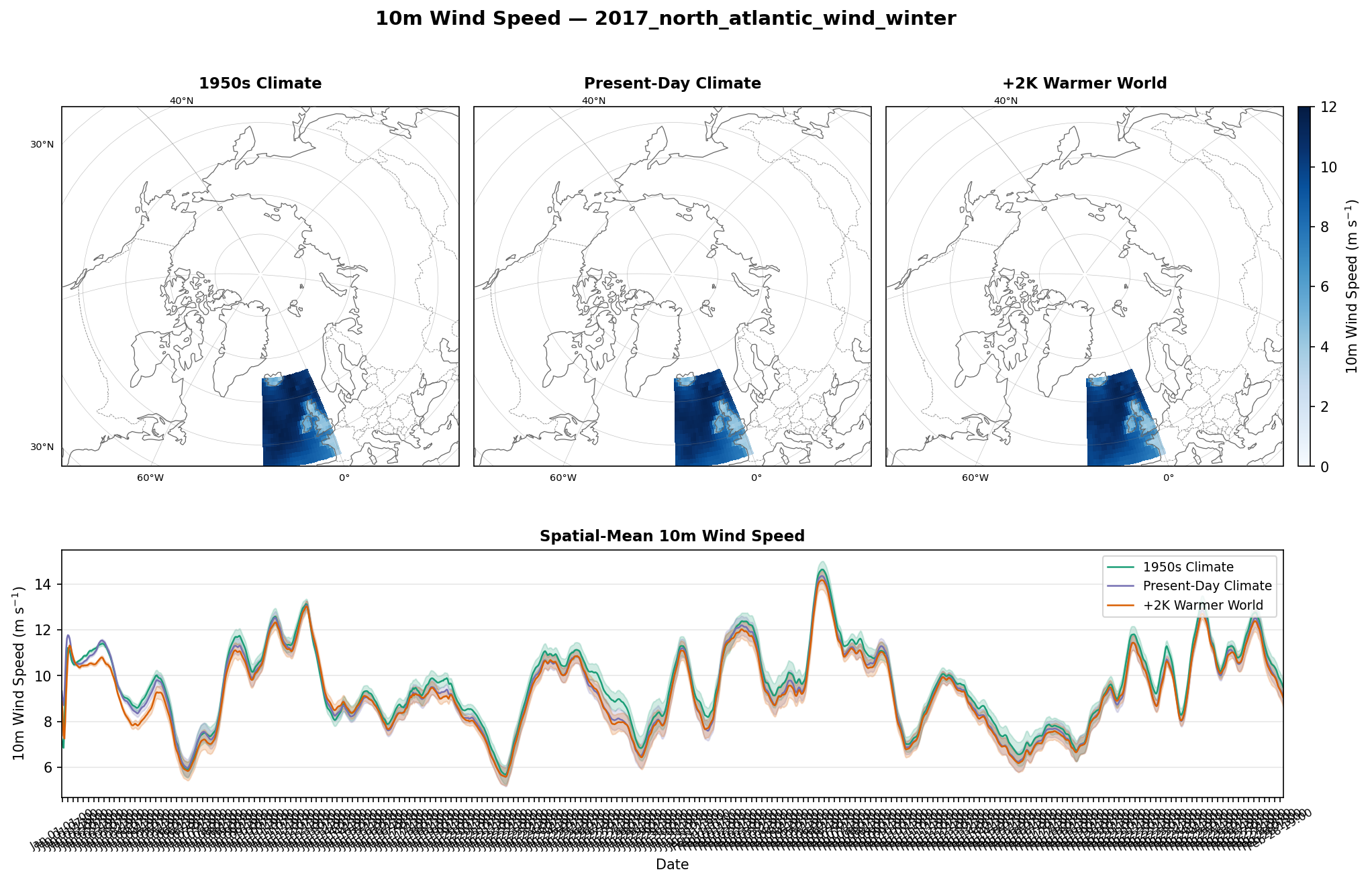
10m Wind Speed — North Atlantic Winter (Jan–Feb 2017, 1.0°)
Key Findings
- The three scenarios track closely due to nudging, but differences emerge during storm events with wind speeds reaching 10–14 m/s.
- The domain is predominantly open ocean, so the maps provide limited spatial context.
- The time series shows the ensemble spread is comparable to scenario differences, suggesting this region has more internal variability than the Norwegian Sea.
- Storm-by-storm analysis would be needed to determine whether specific synoptic patterns amplify or suppress scenario differences.
Scientific Context
The North Atlantic is the primary storm track region for Europe. The hist−cont difference being large here (monthly RMS 0.36 m/s, the highest of any pair/month combination) suggests that the change from 1950 to present-day SSTs significantly modified surface wind conditions along the storm track, even with identical large-scale circulation. This could relate to changes in air-sea temperature contrast affecting boundary layer stability and thus momentum transfer to the surface.